At a glance:
- Address: 2nd floor East, 35 & 37 Ludgate Hill
- Property type: Office
- Size: 311sq ft
- Rent: £13,000 per annum
- Rateable value: £13,250
- EPC rating: D (90)
- Availability: Immediate
- Unit reference number: 00002204
Information:
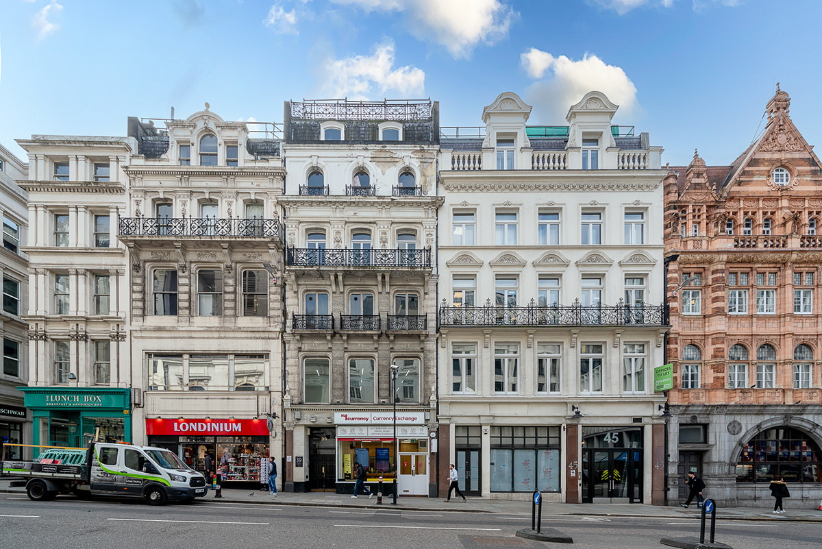
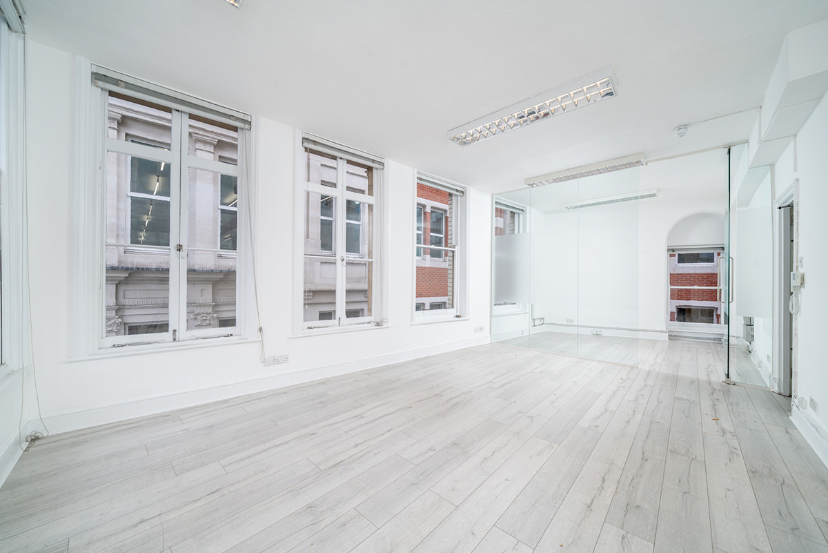
Situated in a highly prominent City of London location on Ludgate Hill, within sight of St Paul’s Cathedral and just moments from St Paul’s, City Thameslink and Blackfriars stations, this attractive second floor office suite is positioned within a characterful period building.
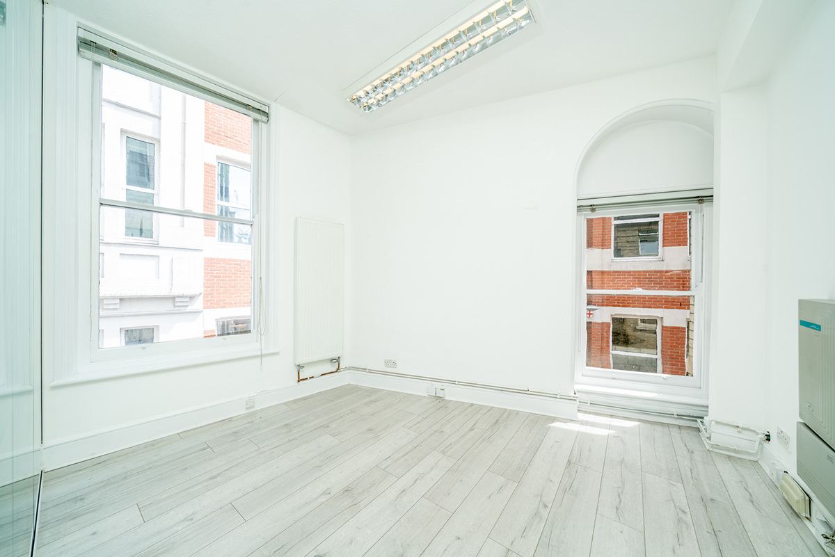
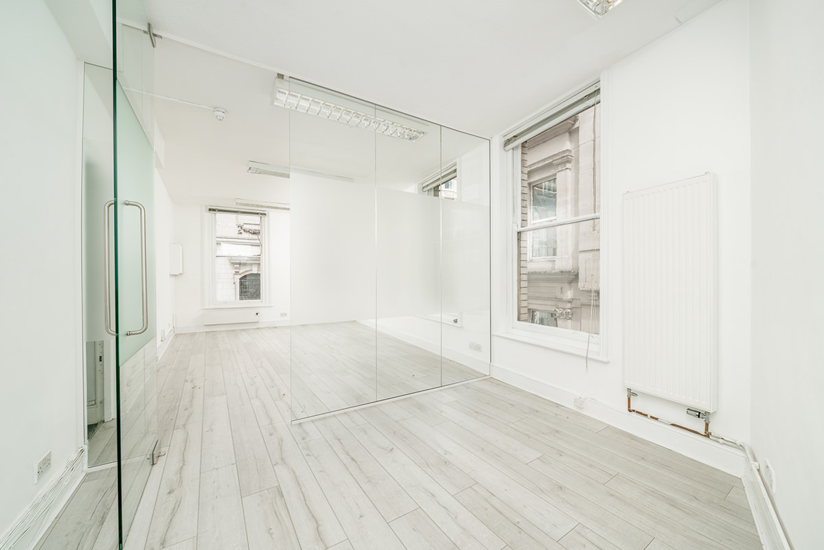
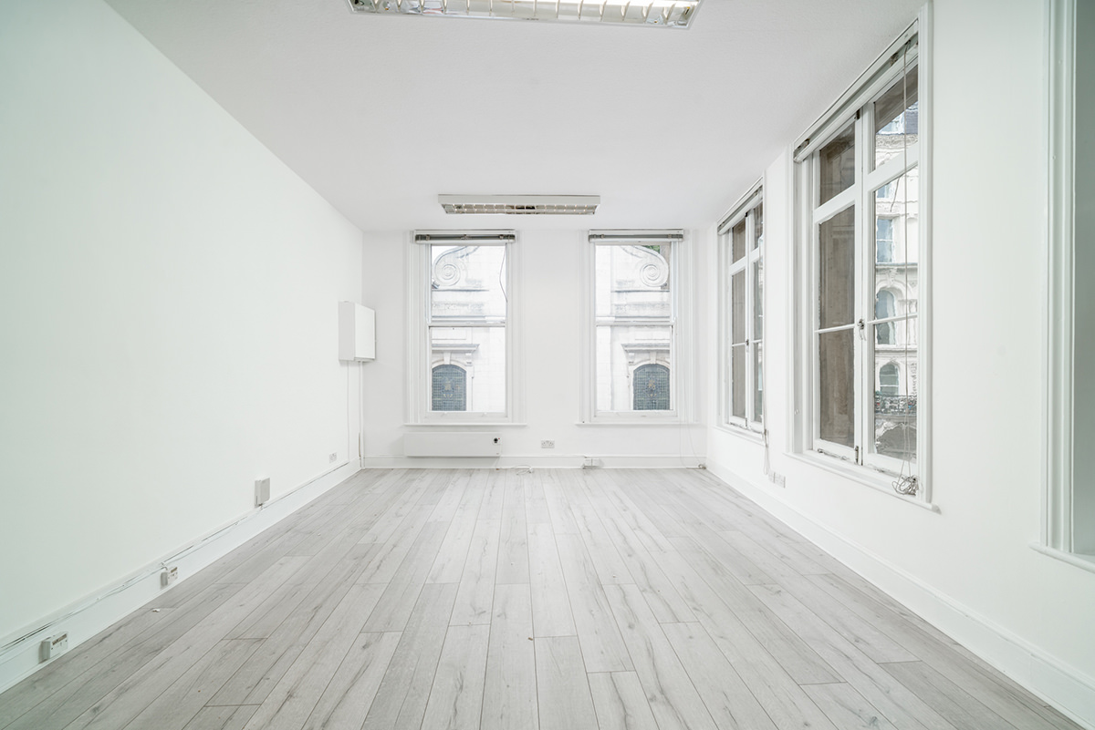
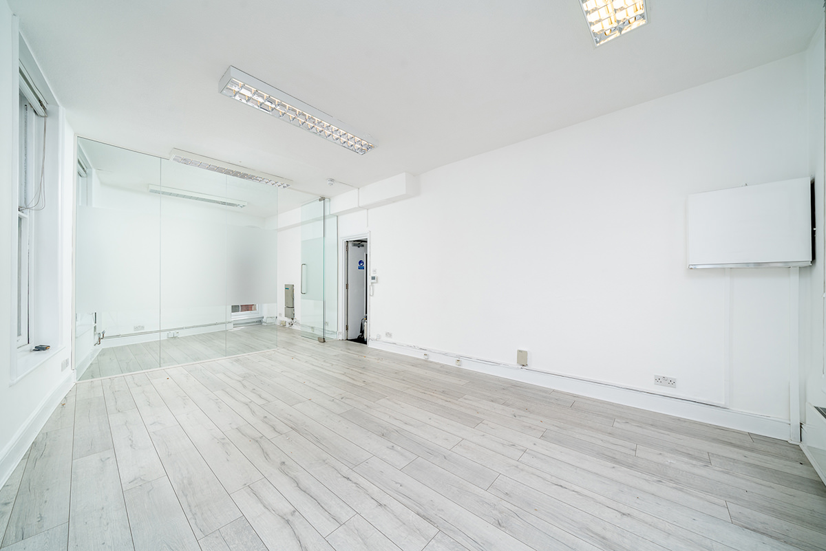
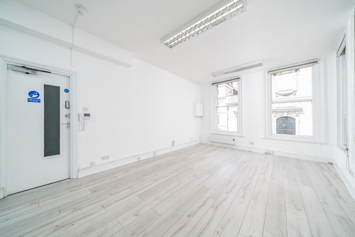
Economical open plan office to let on the second floor of this attractive period building suitable for a range of occupiers. The space is open plan and benefits from excellent natural light combining period charm with practical functionality.
Ludgate Hill links the West End with the City core, placing the property in a vibrant and well-connected area. Occupiers benefit from excellent transport links and a wide range of nearby amenities, including cafés, restaurants and professional services, all within easy walking distance.
- Excellent natural light
- Attractive period property
- Entry phone system
- Passenger lift
- Walking distance from stations
- 24/7 Access
- Good Natural Light
- Passenger Lift
- Walking Distance From Tube Station
Ofcom Information
The data displayed on broadband coverage availability uses source data from Ofcom. The predicted speeds provided in the API data are provided by the leading UK ISPs. We understand that Ofcom did not receive data for every premise in the UK, and that Ofcom continue to work with industry to fill in the gaps. If no predictions are shown for your address, this does not necessarily mean broadband is not available and we suggest that you check availability on the ISP websites.
The data displayed on mobile coverage availability uses source data made available by Ofcom which is based on data from the mobile operators about how strong they think signal levels are at every location in the UK. Each mobile operator has a slightly different approach to displaying coverage on its own map, including assumptions on the handsets used, levels of call reliability and the expected signal loss when indoors or in car. Because Ofcom brings all mobile operator data together in a single place and holds it to a single, independent standard, the mobile coverage availability information above may display different levels of coverage than those seen on the operators' websites. We would therefore recommend you also check the mobile provider's coverage checker. Mobile coverage data is created by coverage modelling, and since this is based on computer predictions is not error free.
Ofcom update the source data regularly (every month) and the mobile network operators update theirs, but there may be times when the maps are based on slightly different data and therefore show different coverage.
Please note that we operate a cashless policy. We cannot accept cash as a form of payment for any part of your admin fee, deposit, rent, service charge, insurance or interest. Payments can only be made by Standing Order, Debit/Credit Card, Bank Transfer or Cheque.


 Bus Routes (under 5 mins walk)